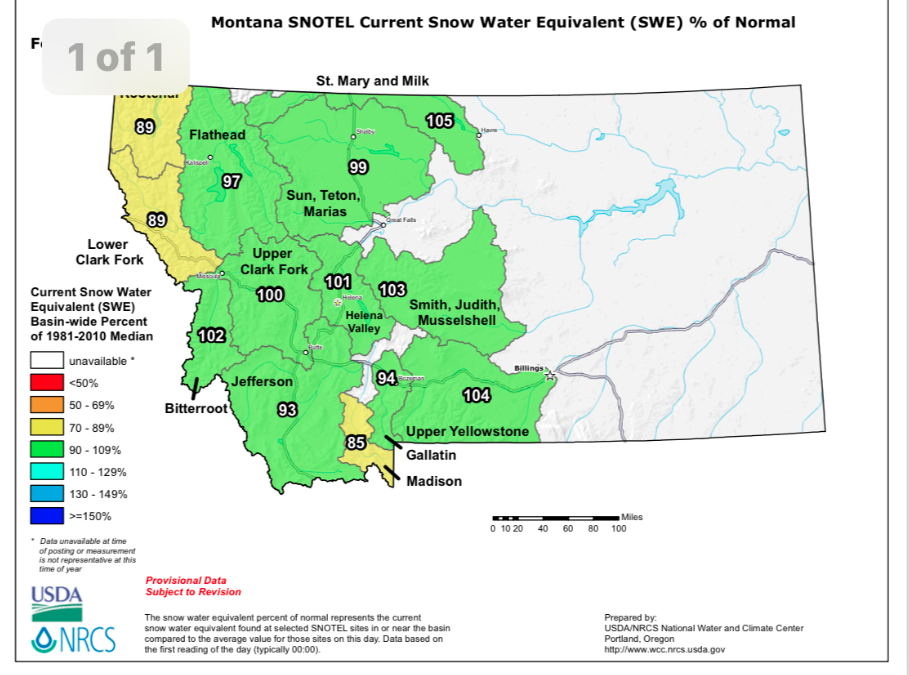
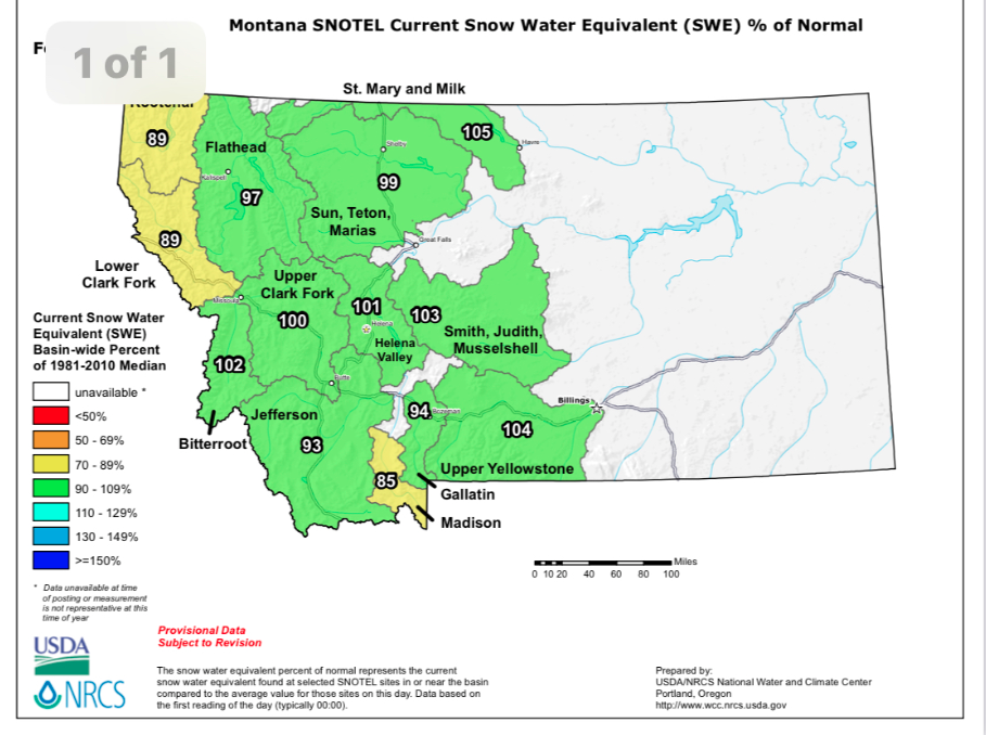
2021 Snowpack is 102% in the Bitterroot – summer fishing bodes well


Video from Great Divide Outfitters, Big Hole River, Montana
A picture says a thousand words! From streamflow data in western Montana visit our Wapiti Waters “Riverflows and Snowpack Data” page.
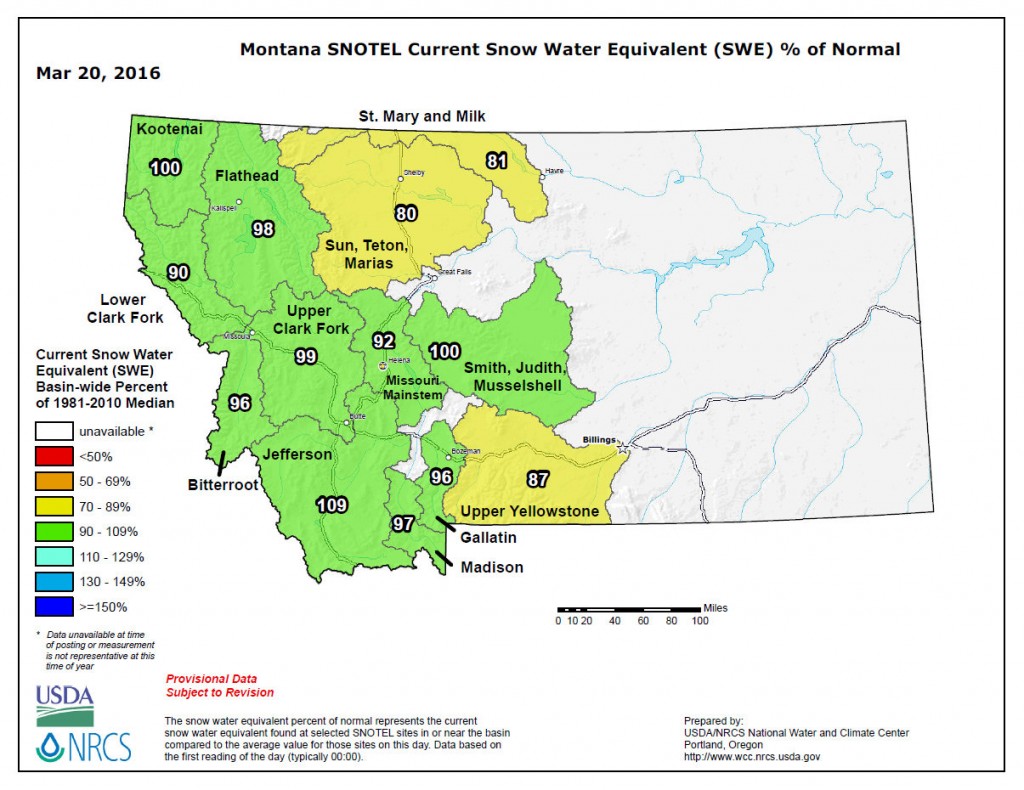
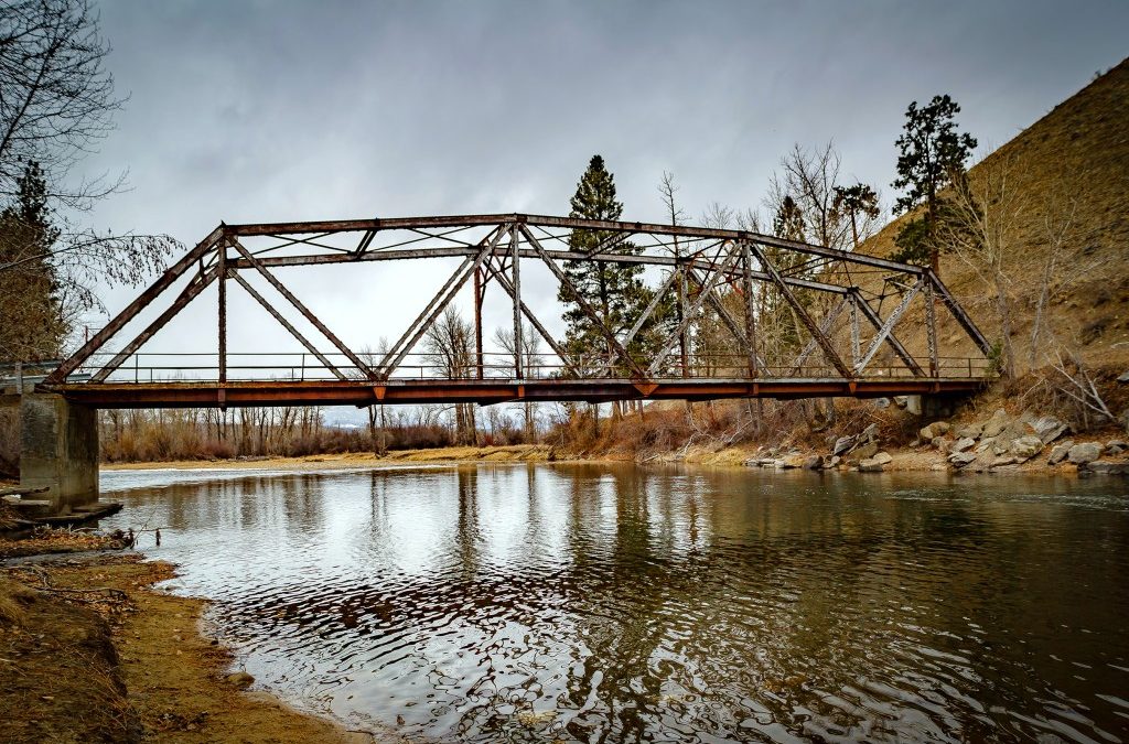
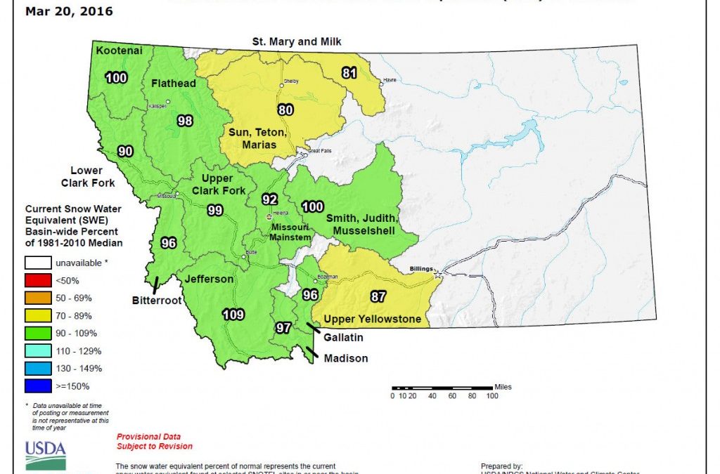
Winter snow in the mountains translates into spring, summer and fall waterflows in our rivers. So, we keep watch on the snow levels. We actually had a good snow accumulation in Dec 2015 and Jan 2016. It is still precipitating in February, but the temperatures are above average. Good news, still a good snow pack. Today I am posting some info on our current snowpack in Montana and a few photos from the mountains and Bitterroot River.
Click on any image to enlarge it.

Here is what is going on here in the Bitterroot in late January.

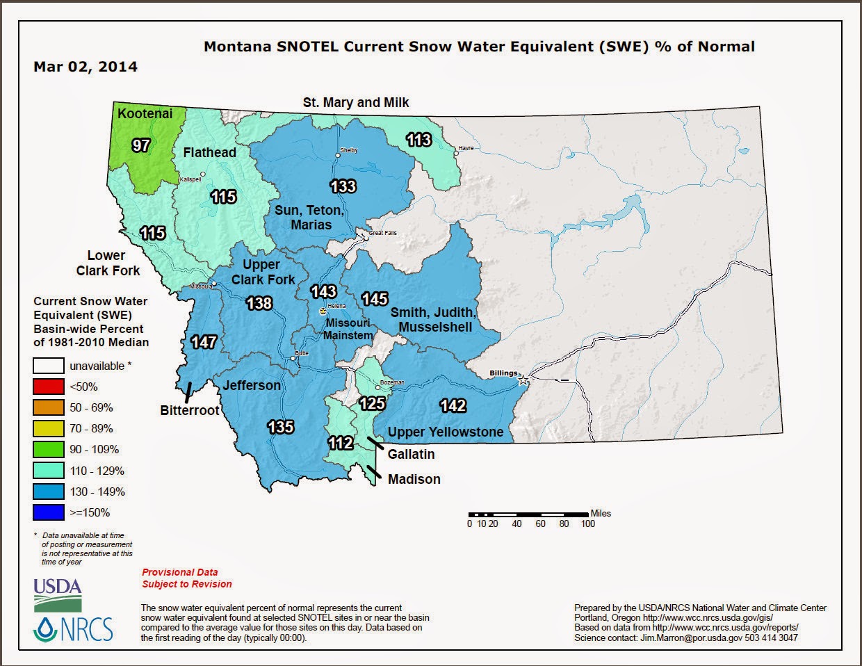
March 3, 2014 – Montana SNOTEL Current Snow Water Equivalent (SWE) percent of Normal
Bitterroot River Basin increased to 105%!